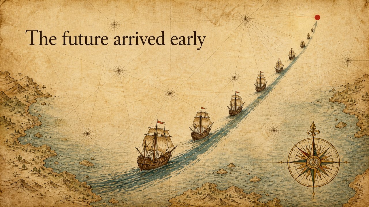
波特兰航海图 Portolan Sea Chart
航海图warmparchmentwatercolorepicexploration
穿越未知之海、驶向标记终点的远航
一场驶向未知之海的远航。温暖、史诗、探索感——把「增长 / 驶向新大陆」的故事,讲成一支船队沿上扬的航道驶向标记的目的地。
Prompt 配方
配方保留英文原文——它是直接喂给图像模型的指令,翻译会破坏可复现性。
SURFACE:  16th-century portolan sea chart on aged sepia parchment, muted watercolor
ocean, fine ink coastlines, compass roses, faint rhumb lines. NO photographic, NO 3D.
SKELETON: auto by page role (cover=flowline, chapter=color-field, list=grid)
DEVICE:   draw the page's argument as a chart element (a growth curve = a fleet of ships
climbing a rising sea-lane; scale = a distance measured on the chart)
END:      Full-bleed 16:9, render DEVICE on the parchment SURFACE, DEVICE composition.
CRITICAL: title = the page's TEXT in its own language, clean legible serif; NEVER invent words or glyphs beyond TEXT;
annotations only as compass marks / numbers / dotted rhumb lines; no UI, no cards, no captions.
来源
灵感来自文艺复兴时期的波特兰航海图与水墨海景。画面为我们自绘。
许可证:CC-BY-4.0 · 贡献走 DCO